
Maplewood Neighbors by Block Source
Public records around a Maplewood address describe different parts of a block. The county map shows parcel geography; the assessment record can show publicly displayed property and mailing fields; recorded instruments describe transfers; and a city map supplies planning geography. None of those sources proves every occupant. Start with the question, such as whether a parcel is adjacent, which neighborhood label applies, or when a transfer was recorded, then use only the source that answers that question.
| Source | What It Shows About a Block | Access |
|---|---|---|
| MapRamsey | Adjacent parcels, aerials, boundaries, ZIP and administrative layers | Public map and identify tools |
| Ramsey Beacon | Parcel assessment and address fields | Address or PIN; owner-name restrictions apply |
| RecordEASE | Recorded transfers and legal descriptions across parcels | Subscription or recorder-office route |
| MNVotes | One exact registration confirmation, not a block list | Name, date of birth, and address; statutory limits |
| City neighborhood map | Planning geography and neighborhood names | Public PDF; not a precise boundary measurement |
| Directories and census | Dated historical households where coverage exists | Library or archive access; not a current roster |
Owners and occupants are not interchangeable. A tax mailing address can belong to an agent, business, relative, or a place outside Maplewood. Renters and household members often do not appear in land records. Record the field label, source date, and the smallest amount of public information needed for a lawful research note.
Map a Maplewood Neighbors Block
The adjacent-parcel method in MapRamsey is repeatable. Search or pan to the target address, turn on parcel boundaries, identify the target parcel, and then inspect only the bordering parcels needed to understand the block. Add ZIP and administrative layers before assuming the city line. The county map is a geographic reference; parcel lines are not a private boundary survey.
- Open MapRamsey and locate the address by searching or navigating to it.
- Turn on parcel boundaries, click the target, and note the PIN, situs label, parcel type, and map date.
- Pan or use adjacent clicks or rectangle selection only for the surrounding parcels relevant to the question.
- Compare ZIP and administrative layers, then use Beacon or the recorder only for a defined public parcel or instrument question.
A screenshot of the official Ramsey County interactive property map shows the map-based starting point.
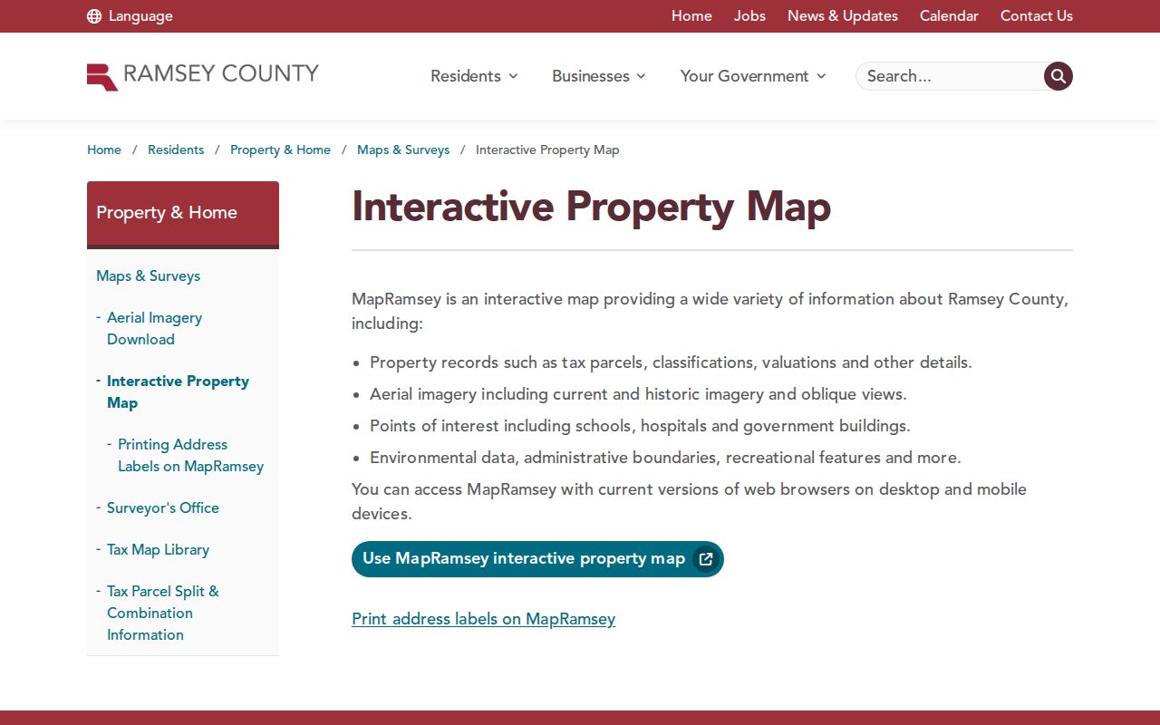
The viewer provides public layers and map navigation. It does not transform visible parcel labels into proof of household membership or current occupancy.
Maplewood Neighbors and Parcel IDs
A parcel identification number, or PIN, is the durable bridge between the map and property record. Beacon can be searched by address, PIN, or plat/block/lot. It may show a situs address, mailing address, legal description, value, classification, assessment context, and map link. The owner-name route is restricted by Ramsey County policy, so an address or PIN is the lawful starting point for a nearby parcel.
MapRamsey and the county parcel REST service can support identify and query behavior. Common areas, parks, water, roads, and other nonstandard features can lack a normal PIN. Do not force a person into that result. Save only the target and adjacent PINs required to reproduce the map path; the ZIP-polygon layer supplies postal geography, not occupants. For a full named-street record chain, use the Maplewood by-street directory rather than extending a block inquiry across an entire street.
Maplewood Neighbors and Neighborhood Geography
Maplewood has 13 designated planning neighborhoods: Western Hills, Parkside, Kohlman Lake, Hazelwood, Maplewood Heights, Sherwood Glen, Gladstone, Hillside, Beaver Lake, Battle Creek, Vista Hills, Highwood, and Carver Ridge. The city map is useful vocabulary when a record, event notice, or historical source names a part of the city. It does not set a parcel boundary, ZIP boundary, association membership, or a complete block line.
Older city material gives approximate, dated planning figures for some neighborhoods, including Beaver Lake, Parkside, Hillside, Hazelwood, and others. Those figures are not a current census and should not be converted into a count of public household records. Compare the city neighborhood map with MapRamsey and USPS only when the research needs civic, parcel, and postal geography separately.
The official Maplewood zoning information page is another public context source for a block.
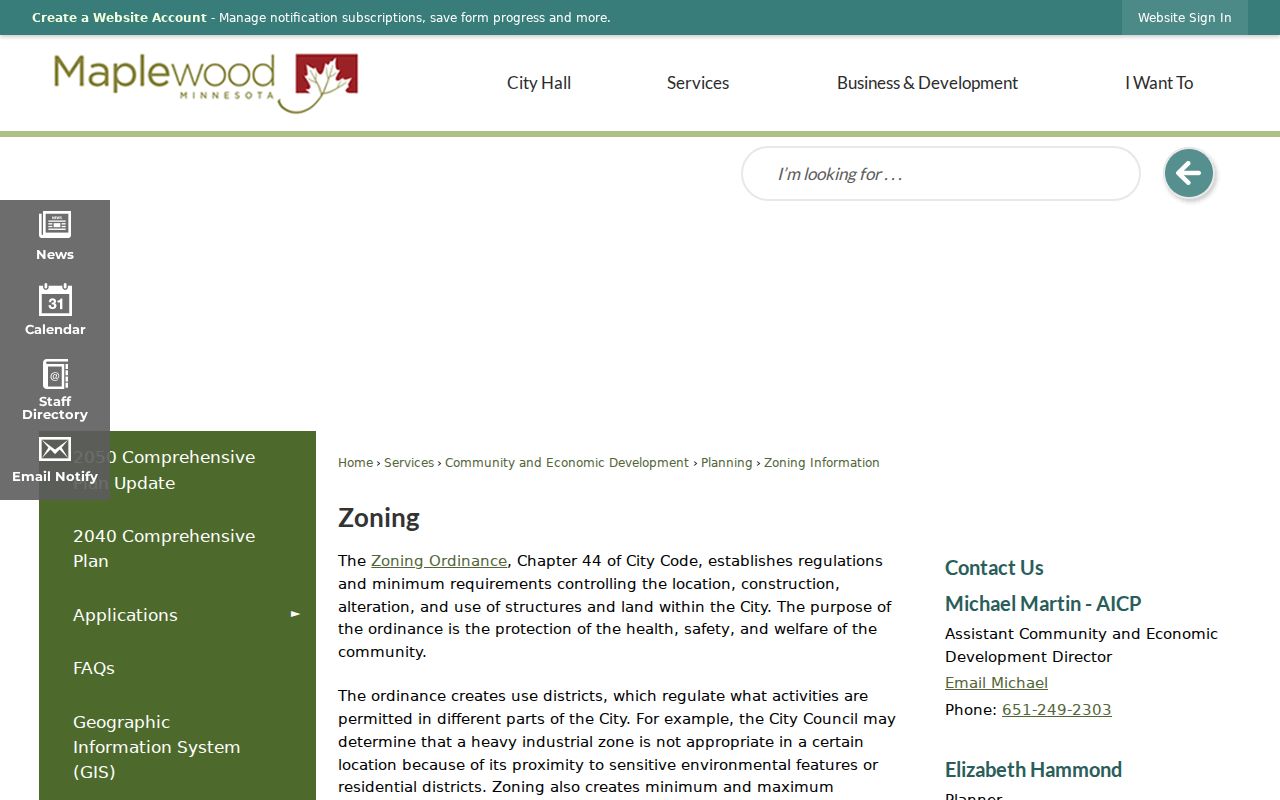
Zoning districts and county tax parcels can overlap on the map, but they are separate systems and neither creates a neighborhood roster.
Maplewood Neighbors Community Sources
No citywide directory of neighborhood-association members, HOA rosters, block-watch lists, congregation directories, or private social-group membership was located in the official research. A public association page, when one exists, may identify a meeting or contact person, but it does not authorize disclosure of members. The safer community layer is the city map, public city notices, historical-society collections, library events, yearbooks, obituaries, and dated local publications.
City Neighborhood Map
Maplewood's 13-neighborhood map supplies planning names and civic geography.
Maplewood Area Historical Society
Contact and collection information supports Maplewood place-name and local-history questions.
Ramsey County Historical Society
Collection finding aids and research services can add county archival context.
Ramsey County Library
Maplewood branch access supports library databases and local-history research.
Use a named civic source as evidence of a dated public activity, not proof that a person is currently a member, resident, or neighbor.
Maplewood Neighbors and Voter Privacy
MNVotes is an exact-match confirmation tool. It requires first and last name, date of birth, ZIP Code or county, city or township, house number, street, and a unit when applicable. It does not accept a block and return the people on it. A nonmatch can reflect spelling, date-of-birth, address, update timing, or protected-record issues. It is never proof that an adult is absent from a neighboring address.
Minn. Stat. §201.091 controls Minnesota voter information and excludes full dates of birth, identifying numbers, ballot choices, and protected addresses from the public lookup. A public-information list is a separate request; its current procedure, fields, delivery, and permitted use should be confirmed with Ramsey Elections or the Secretary of State. Safe at Home participants use special processes, and their real addresses must not be inferred.
Maplewood Neighbor Tools Compared
Official records and commercial neighbor-lookup products are different categories. A county map or recorder index identifies its custodian, date, field labels, and access limits. Commercial compilations can combine marketing, public-record, change-of-address, and other brokered material. Those combinations can carry stale addresses, same-name merges, and false household associations. Use the official source for the narrow fact it actually maintains.
| Source category | Useful for | Key limit |
|---|---|---|
| Official parcel and recorder records | Parcel, PIN, instrument, and dated ownership context | Owner or mailing field is not occupancy proof |
| Official election confirmation | One exact registration check | Not a block roster; protected fields stay protected |
| Library and historical collections | Dated household, neighborhood, or civic context | Historical evidence is not a current-contact source |
| Commercial compilation category | Possible leads to test against a custodian | May be stale, merged, incomplete, or wrong |
Note: Treat any compilation as a lead only and preserve the official source, field name, and retrieval date when a fact must be verified.
Maplewood Neighbor Records Limits
Much of a block is not public as a people list. Renters, household members, utility customers, delivery recipients, driver addresses, protected addresses, sealed court files, juvenile records, and confidential vital data have separate protections or are not general public sources. A tax mailing address can belong to an owner, agent, relative, business, or trust. A parcel can also be a church, railroad corridor, park, public body, or condominium common area rather than a residence.
Minnesota's Safe at Home program gives eligible residents a substitute address. Its official program page explains the assigned-address model and limited disclosure process. Do not use parcel, voter, postal, or mailing details to try to reveal a protected location. For a defined public record, make a focused request under the Minnesota Government Data Practices Act and let the custodian apply the correct classification.
Lawful use. Maplewood neighbor research is for a defined, personal, lawful question about a block or public record. Never use the information to watch, stalk, harass, intimidate, or harm anyone.
Maplewood Neighbors in Block History
Historic records can explain why a modern block search fails. Maplewood developed through townships, Saint Paul annexations, a village, and a 1974 city, while its edges meet other jurisdictions. The Waldo Luebben story preserves a concrete address-continuity warning: a nine-acre property south of Keller Lake was not numbered in 1932 and later used 2000 Arcade. The source does not establish a citywide renumbering date.
When a historical number fails, search the street, landmark, adjoining parcel, owner, lake or road reference, and legal description. Then use a dated directory, census page, obituary, or deed to test the result. This preserves the difference between a documented historical household and a claim about current Maplewood neighbors. Older Saint Paul directory material, local newspaper files, and library collections can supply a dated household clue, but a historic entry must remain tied to its publication year and address form. Record the source's jurisdiction too, because a street near Maplewood may appear under Saint Paul or another nearby municipality in an older volume.