
Finding a Maplewood Street
A street-by-street search can establish the county parcel connected to an address, the recorded ownership trail, and historical household clues. It cannot establish that every person associated with a street currently lives there. Use the public fields that are returned, preserve their labels, and compare dates. A map record, a recorded instrument, and a printed directory entry each carry a different level of connection to an address.
- Run the address through Beacon and save the situs address, PIN, legal description, current assessment year, and any displayed mailing field.
- Open the same location in MapRamsey, turn on parcel boundaries, and inspect the street segment and adjacent public parcel identifiers.
- Use the PIN, legal description, or a documented owner role to locate recorded documents in RecordEASE.
- For a specific registration question, use MNVotes only with the required name, date of birth, and full address.
- For an older address, work from the street index or criss-cross directory to a dated household entry, then compare it with a deed, census, obituary, or city record.
Divide a long Maplewood street into clear address ranges. Note odd and even numbering, cul-de-sacs, public parcels, common areas, and points where the city or ZIP line changes. That makes the search repeatable without treating a visible name as a current-occupancy claim.
Maplewood Beacon Address Search
Ramsey Beacon is the principal assessment route for a Maplewood street directory search. Its public controls include Search by Property Address, Advanced Address Search, Search by PIN, and Search by Plat, Block, and Lot. Map, Results, Property Tax, Property Value, layers, and selection tools support the address route. Ramsey restricts online owner-name searching, so an address or PIN is the appropriate starting point.
A returned parcel can show owner, property or situs address, tax mailing address, PIN, legal description, estimated and taxable market value, classification, land and building values, tax district, school district, land use, exemption or homestead indicators, sketch, and assessment history. Display varies by parcel. Keep an owner’s tax mailing address labeled as mailing information; it does not establish who is at the situs address.
| Beacon field or route | Street-search value |
|---|---|
| Property address | Finds the current situs record for a numbered address. |
| PIN | Preserves a stable parcel identifier across map and tax views. |
| Plat / block / lot | Connects a subdivision-style legal description to the parcel. |
| Property Value and Tax | Shows the assessment and tax context attached to the selected parcel. |
Maplewood MapRamsey Street View
MapRamsey supplies the geographic spine for a whole block or street segment. Search or pan to a known address, turn on parcel boundaries, click the target parcel, and then use adjacent clicks or rectangle selection to inspect nearby parcels. The viewer includes tax parcels, valuations and classifications, current and historic or oblique aerials, points of interest, environmental and administrative boundaries, recreation, and ZIP layers.
The county parcel service is useful for its layer and identify context. The Ramsey parcel REST service shows the public map-query framework for a Maplewood street directory route.
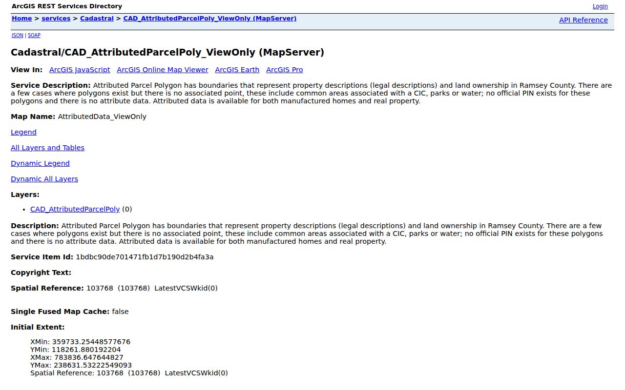
Its parcel, legal-description, layer, query, and identify context explains how a street address becomes a map-based research record.
Parcel lines are a reference map, not a private-boundary survey. Common areas, parks, water, roads, and other nonstandard features may not have a regular PIN. Survey-grade questions belong with the County Surveyor, whose records include plats, PLSS material, right-of-way plats, and historical survey resources.
Maplewood Street Address Terms
Four labels often appear in the same Maplewood search but should not be merged. The situs address is the taxable property location. A mailing address is where tax correspondence is sent. The legal description is the land description used in recorded documents. A postal address is the delivery format determined by USPS. The PIN ties the property-search and map record to one parcel, while the document number ties a recorded instrument to one filing.
- Parcel
- A tax and map unit with a PIN, often linked to assessment, legal-description, and geometry records.
- Situs address
- The property’s physical taxable location, which is not necessarily a mailing address.
- Plat
- A recorded land-division map for a subdivision, lot, or block.
- Criss-cross directory
- A reverse directory that begins with a street and number range, then points to a dated household listing.
Maplewood’s city, neighborhood, parcel, and postal layers can overlap without sharing the same boundaries. Preserve the original field wording and source date when moving from one system to another.
Maplewood Street Directory Records
A Maplewood street directory is built from address-keyed sources. Each source has a narrow role: Beacon gives the assessment connection, MapRamsey gives the geographic context, the Recorder gives a document chain, and city contacts supply their own address-held material. MNVotes confirms a specific registration, not a public list of everyone along a block.
| Address record | Key used | What it can show | Access route |
|---|---|---|---|
| Beacon assessment record | Situs, PIN, plat | Owner, mailing and situs fields, value, classification | Public address or PIN search |
| MapRamsey parcel map | Map location / parcel | Geometry, layers, aerials, nearby parcels | Public interactive viewer |
| Recorded document | Legal description, PIN, party, document | Grantor, grantee, date, instrument, legal chain | RecordEASE or office |
| City Building or Code record | Property address / defined request | Project, work, inspection, notice, or compliance context | City staff, Accela, or request |
| State voter confirmation | Exact name, DOB, address | Registration match and polling context | MNVotes exact-match form |
| Historic directory | Street and number | Dated household, notation, and address evidence | Library and archive holdings |
The same PIN can link Beacon and MapRamsey, while the legal description, grantor, grantee, and document number extend the recorded chain. Do not substitute a map display for the Recorder’s instrument or use a tax classification as a statement about everyone at the address.
Maplewood Street Deed Chains
RecordEASE is Ramsey County’s core search system for recorded deeds, mortgages, liens, plats, certificates, and related instruments. Search by grantor or grantee, document type or group, recording date, document number, book and page, plat or legal description, PIN or tax ID, or certificate and tract-book route. Start with the latest deed or certificate, record its grantor, grantee, recording date, document number, and legal description, then search the former grantor as an earlier grantee at that legal description.
The portal requires a $25 monthly customer account. Searches for documents, certificates, or plats cost $0.85, and a view costs $1. Ramsey began eRecording on April 24, 2014. Older abstract and Torrens books, index-book images, microfilm, and the Property Records Resource Center remain essential for earlier material. The exact first online year for every document type was not located, so a failed web result should lead to the Recorder’s book or office route rather than a claim that no instrument exists.
Note: A recorded land transfer documents a legal transaction on its recording date; it does not by itself establish a person’s physical presence at the Maplewood address.
Maplewood Voter Address Limits
The state’s MNVotes form requires first and last name, date of birth, and a ZIP or county route, then city or township, house number, street, and a unit when applicable. It is updated nightly, although county processing can take up to 14 days. The form is useful for an exact lawful confirmation and polling information. It does not accept a street name and return a block roster.
Minn. Stat. §201.091 separates public voter information from protected data. Full date of birth, identifying numbers, ballot choices, and protected addresses are not public through the lookup. A no-match result may reflect a spelling, address, timing, or protected-record issue. It is not a basis for a conclusion about a person’s current location.
Maplewood Permit Address Requests
Maplewood Building Inspections reviews plans, issues permits, and conducts inspections under Minnesota’s State Building Code. The department lists building@maplewoodmn.gov and 651-249-2300. The city’s zoning information identifies an interactive zoning map, 18 zoning districts, an Accela Citizen Access reference, and a zoning-letter procedure. These city channels can add project context to a defined property address.
The public city pages did not expose a citywide permit-result index or a code-case screen with verified search fields and coverage dates. Use a defined address, project, permit number, or date range when contacting Building, Planning, or Code Enforcement. That research gap is more accurate than promising a public by-address database that the official sources do not show.
The Building Inspections page is the official address-based contact route for this Maplewood street directory step.
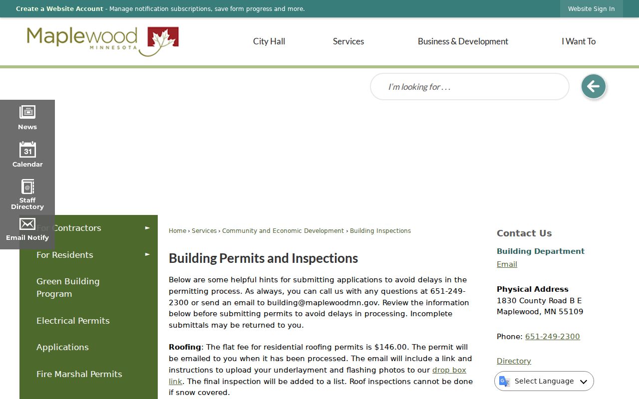
The department page provides the city fallback when the county parcel record needs related municipal project or inspection context.
Maplewood Street Continuity
There is no verified citywide Maplewood renumbering table. The specific warning comes from the city’s Waldo Luebben history: the Keller Lake property was not numbered in 1932 and later used 2000 Arcade. The address link survives through the road, owner, landmark, parcel, plat, neighboring parcel, and legal description, not through an invented conversion table.
Maplewood’s present municipality also followed townships, Saint Paul annexations, rural settlement, a 1957 village, and a 1974 city. A failed historic street query may need the township, rural route, neighborhood, farm name, or older city label. Saint Paul’s 1976 street directory includes former street names and can be a helpful companion, but it should not be treated as a complete Maplewood conversion list.
The same continuity issue appears in the recorded land trail. A modern street number can sit on a later subdivision parcel, while an older instrument refers to a lot and block, a tract-book entry, or a broader legal description. Start with the known address, retain the PIN, then compare the present legal description to the deed, plat, and map context. If the number fails, search the road, landmark, nearby parcel, former owner role, and the older place label one at a time. A date attached to each result keeps a historic lead from being confused with the current street layout.
Maplewood Street ZIP Checks
Minnesota DPS material lists five Maplewood-associated ZIPs: 55106, 55109, 55117, 55119, and 55144. Each is postal geography, not a city line. The USPS lookup has By Address, By City and State, and Cities by ZIP Code modes and should be the final check for the accepted delivery format. MapRamsey’s ZIP layer supplies a useful map overlay but does not decide delivery for a numbered location.
Use the city’s 13 neighborhood names as research vocabulary, not postal proof. A street can cross or approach a municipal, neighborhood, parcel, or ZIP boundary. Recording the USPS result, PIN, city label, and neighborhood label separately prevents a Maplewood street directory search from turning one geography into another. Near Saint Paul, North Saint Paul, Little Canada, Oakdale, and Woodbury, an address-level postal check is especially important.
Maplewood Street Directory Limits
Public address records do not reveal every person connected to a Maplewood address. A parcel may be held by a trust, estate, corporation, public body, or common area. Tax mailing information can be an agent or an out-of-area address. Utility and delivery lists are not general public address sources, and federal DPPA restrictions apply to personal driver and vehicle information. Safe at Home participants have protected real addresses.
When an address question remains unanswered, ask the appropriate custodian for a defined public record and its access or classification rule. A blank field, no map hit, or no exact voter match is a limit of that source, not a factual conclusion about a person.