
Maplewood Previous-Resident Sources
Past residents leave different kinds of evidence in different eras. County parcel tools identify today's land record. The Recorder connects that parcel to instruments. Historical directories and census schedules supply dated household clues. City permits, obituaries, probate files, cemetery records, and aerials can explain the spaces between transfers. Build the record trail in time order and label what each source actually establishes.
| Source | Years It Covers | Where Held | What It Shows |
|---|---|---|---|
| Beacon and MapRamsey | Current and displayed historical layers | Ramsey County | Parcel, PIN, value, map, and address fields |
| RecordEASE and older record books | eRecording from 2014; earlier books and indexes | Ramsey Recorder | Deeds, mortgages, liens, plats, and legal chain |
| Saint Paul directories | Online 1856-1922; microfilm to 1935; print 1938-present | SPPL | Names, addresses, occupations, household and phone clues |
| Suburban directories | Some years about 1956-1991 | SPPL, MNHS, and library catalogs | Address-to-household entries where covered |
| Federal census | Public through 1950 | NARA and library databases | Household, age, occupation, birthplace, and enumeration place |
| Ramsey aerial imagery | 1930s; 1991, 2003, 2006, 2008, 2009, 2012, 2013, 2015 | Surveyor and GIS records | Footprint, land use, road, and parcel context |
Begin with a current parcel when the address is known. Begin with a directory, obituary, or census when the family is known but the address is not. The exact earliest online year for every Ramsey document type was not located, so do not convert the 2014 eRecording date into a claim that all older deeds are online.
Maplewood Parcel and PIN Start
Use the Ramsey County Beacon search by property address, PIN, or plat/block/lot. The useful first snapshot is the situs address, PIN, legal description, subdivision or lot/block, assessment year, and the latest displayed owner or mailing information. Then open the same geography in MapRamsey to compare parcel boundaries, imagery, and nearby parcels.
Keep the situs and mailing addresses distinct. Situs identifies the taxable property location. Mailing identifies where tax correspondence goes and can belong to an owner, agent, business, or a place outside Maplewood. Beacon restricts online owner-name searching, so address and PIN are the public starting routes. A homestead indicator is assessment evidence, not a complete statement of who occupied the property.
Note: Save the PIN before changing tabs because the tax and property-value views can use different return paths.
Maplewood Deed-Chain Access Tip
Ramsey County's recorded-document access guidance separates the paid web route from the office fallback. RecordEASE charges $25 per month for each customer account, $0.85 for a document, certificate, or plat search, and $1 to view a document, certificate, or plat. Tract indexes and tract books are included with a subscription under the county's access instructions.
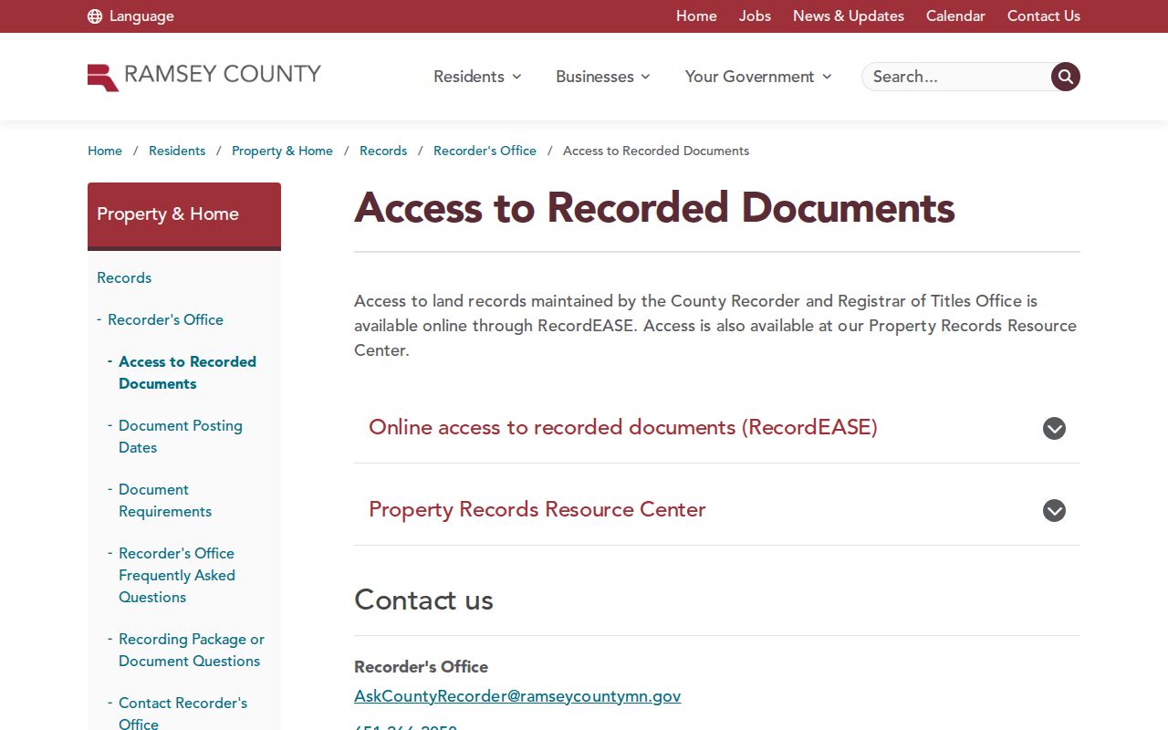
The county's access page makes clear why a backward address search needs both the web index and an office-held-record fallback.
The important boundary is dated, not guessed: Ramsey began eRecording on April 24, 2014. Earlier abstract and Torrens books, index-book images, microfilm, tract books, and the Property Records Resource Center remain part of the historical route. Abstract and Torrens are Minnesota land-title systems that can require different index paths. If the portal has no result, try the legal description, plat, tract, certificate, document number, or older book path before treating the instrument as missing.
The Ramsey County Recorder and Registrar of Titles keeps the permanent land instruments, and the Resource Center is the documented in-person fallback when a RecordEASE search or image stops short.
Maplewood Past Owner Chain
Follow a chain of title one recorded transfer at a time. The legal description is the continuity check because a street number can change, a subdivision can be created later, or an older instrument can use acreage, a section, township, range, plat, or certificate reference. A deed date marks a recorded transfer. It does not by itself prove a move-in date or that a named party occupied the address.
- Use the current Beacon and MapRamsey record to save the PIN, situs address, legal description, lot/block or subdivision, and any certificate number.
- At RecordEASE, find the latest deed or certificate and record the grantor, grantee, recording date, document number, and legal description.
- Search the seller, or grantor, as a prior grantee using the same legal description. Check spouse, trust, estate, corporation, and spelling variants when the named party changes.
- Repeat the earlier transfer step, keeping Abstract, Torrens, tract-book, and certificate routes separate where the property record requires them.
- When the searchable route ends, ask the Recorder or Property Records Resource Center for the relevant book, index image, microfilm, tract, or certificate path.
- Grantor and grantee
- The grantor transfers an interest in the recorded instrument. The grantee receives that interest.
- Chain of title
- The dated sequence of recorded transfers and related instruments that link an interest in one parcel across time.
- Legal description
- The formal land description used in recorded documents, such as a lot and block or a section-based description. It is more stable than an address for older research.
Maplewood Previous Residents in Directories
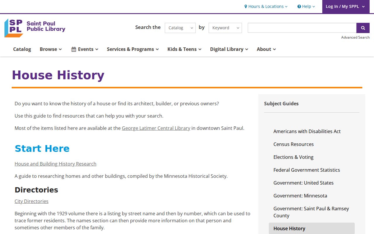
Ownership is only one part of an address history. The Saint Paul Public Library house-history method starts with a directory address, then pairs it with building permits, photographs, historic surveys, former street names, deeds, and census information. SPPL's Saint Paul Collection also holds city and telephone directories, historic building directories, a former-street-name directory, and local-history indexes. It is a regional method, not proof of a complete Maplewood-specific collection.
The house-history guide is the documented reference for combining these sources in an address timeline.
A reverse or criss-cross directory is the address-to-household bridge. Use its street index and number range, then read the matching entry with the volume's abbreviation key. A listing can show an address, household notation, occupation, business detail, homeowner sign, or telephone clue depending on the edition. It is a dated observation, not a current roster.
Maplewood Directories and Census
Pair directory years with the closest released federal census rather than assuming an address string is unchanged. The National Archives census resources provide public schedules through 1950. The census can add ages, birthplaces, occupations, and household relationships. Compare its enumeration place with the directory street and the deed's legal description because older records can use township, rural-route, Saint Paul, or neighboring-municipality labels.
- Put the directory year, printed address, page, and spelling on a dated timeline.
- Locate the closest released census and record its year, enumeration place, household members, and address or district details.
- Test address continuity against the deed legal description, former street name, parcel, or landmark.
- Use newspapers, obituaries, probate, permits, or an assessment change to explain an interval between directory and census observations.
The collection shelf and entry-reading conventions remain on the Maplewood city directories page. This address-history method uses them only after the parcel and time period have been fixed.
Maplewood Address Continuity Warning
A number is not always an old address. Maplewood developed through townships, annexations, a village, and the 1974 city, while its historic search trail overlaps Saint Paul, North Saint Paul, Little Canada, Oakdale, and other jurisdictions. The local example is Waldo Luebben's nine-acre property south of Keller Lake. The city's Waldo Luebben history says the property was unnumbered in 1932 and later used 2000 Arcade.
That story supports a narrow but useful rule: when a historic number fails, search the street, adjacent parcel, owner, Keller Lake or other landmark, nursery name, and legal description. It does not support inventing a citywide renumbering year. Keep the original wording beside the modern crosswalk.
Maplewood Sanborn and Aerial Dates
No Maplewood-specific Sanborn map year or sheet was verified in the official research. Search the Library of Congress Sanborn collection to test coverage, but a missing result does not date a structure or prove that it did not exist. The documented local fallback is Ramsey's aerial evidence: 1930s photography and orthophotos from 1991, 2003, 2006, 2008, 2009, 2012, 2013, and 2015.
Aerial imagery can date a roofline, road, or visible footprint. It cannot establish ownership or a move. For plats, PLSS material, historical surveys, and right-of-way records, use the Ramsey County Surveyor; county tax-map lines are not a boundary survey.
Maplewood Past Household Endpoints
Obituaries, probate files, cemetery research, and newspapers can close a past-resident trail when a directory or deed no longer supplies a clear link. An obituary can provide a spouse, parent, child, funeral home, cemetery, or former residence. A probate case can identify a personal representative or heirs, but it can also contain protected information. Confirm the result through a second dated record instead of treating a family mention as an address conclusion.
Forest Lawn has no public city interment lookup in the sources reviewed. The Ramsey County Poor Farm Cemetery offers another local endpoint, with nearly 3,000 unmarked graves and names preserved in a surviving ledger later transcribed and published. For archival and local-history context, Ramsey County Historical Society collections and the Maplewood Area Historical Society are documented research routes.
Maplewood Previous-Resident Limits
Past-residents research should stay tied to a defined house-history, family-history, estate, or civic-record question. Public parcels, deeds, directories, and historical collections do not reveal every person connected to an address. Utility-customer data and DMV address information are not general public sources. Safe at Home participants have protected real addresses, and court, vital, and city records can contain confidential or redacted fields.
Lawful use. Use a Maplewood address history for a defined personal or historical purpose, and stop when protected data begins. Never use a record trail to stalk, harass, or harm a living person; Minnesota's anti-stalking and harassment protections include Minn. Stat. §609.749 and §609.748.
When an older deed or public file is unavailable online, make a narrow request to the correct custodian for a specific instrument, book, index, permit, or case. A well-defined request is more useful than trying to build a broad list of people connected with an address.