
Maplewood ZIP Code Directory Coverage
The official Minnesota Department of Public Safety county and ZIP crosswalk lists five ZIP codes for Maplewood in Ramsey County: 55106, 55109, 55117, 55119, and 55144. That document is a January 2019 crosswalk, not a promise that every delivery point uses the same ZIP today. Use it to identify the Maplewood-associated postal areas, then run the exact street address through USPS before recording a ZIP on a property, civic, or historical search note.
| ZIP | Areas Covered | Post Office | Notes |
|---|---|---|---|
| 55106 | Parts of eastern Maplewood and Saint Paul overlap | Seeger Square, 886 Arcade St, Saint Paul | USPS lists 651-771-2011; a ZIP or city line is not Maplewood's boundary |
| 55109 | Parts of Maplewood and North Saint Paul delivery area | North Saint Paul station, 2523 7th Ave E, Saint Paul | 651-770-2919; verify the exact street and address with USPS |
| 55117 | Northern and western delivery overlap with Saint Paul | Rice Street, 40 Arlington Ave E, Saint Paul | 651-488-9183; this ZIP serves more than Maplewood |
| 55119 | Parts of southeastern Maplewood, Saint Paul, and Oakdale-area postal geography | Exact serving station not located in an official USPS location page | Use USPS address lookup; serving-station research gap retained |
| 55144 | DPS list includes Maplewood ZIP | Exact USPS facility or unique designation not located | Verify at address level; do not imply ordinary residential coverage |
A ZIP is a delivery association. It is not evidence that a person owns or occupies an address. Keep the USPS-returned city, state, ZIP, and ZIP+4, if supplied, separate from the Ramsey County PIN, the Maplewood neighborhood label, and the property situs address.
Verify a Maplewood ZIP Code
USPS ZIP Lookup is the current address-level check. It has three distinct modes: By Address, By City and State, and Cities by ZIP Code. The tool standardizes a postal address and can return an accepted ZIP, but it does not establish an occupant, ownership, municipal boundary, or a personal connection to that location.
- Use By Address when a full street address is available and save the USPS-formatted result.
- Use By City and State to find postal options without assuming every result lies inside the municipal boundary.
- Use Cities by ZIP Code to see the postal-city relationship, then return to a full address for the delivery decision.
- For a property question, open the matching address in Beacon or MapRamsey and record the PIN separately from the ZIP.
Note: USPS controls the postal format for a delivery point, while Ramsey County and Maplewood control different geographic and record systems.
Maplewood ZIP Code Search Fields
Few official tools support a ZIP-only people search. The Minnesota voter-registration service accepts ZIP Code or county as a required route, but it still requires an exact identity and address match. MNVotes needs first name, last name, date of birth, city or township, house number, street, and an apartment or unit when applicable. It confirms one registration, not everyone within a ZIP or on a carrier route.
| Portal field | ZIP-related use |
|---|---|
| ZIP Code or county | One required mode for the exact registration route |
| First and last name | Required identity fields before any match is returned |
| Date of birth | Required for matching and not public result data |
| City, house number, street, unit | Required address route; unit is conditional |
Ramsey Beacon instead uses property address, PIN, and plat/block/lot routes. It does not provide a confirmed ZIP-wide people query, and online owner-name searching is restricted. A ZIP-based parcel exercise should begin with a mapped area and public parcel fields, not an attempt to assemble a household list.
Maplewood ZIP Code Map Layers
MapRamsey supplies parcel, aerial, administrative, and ZIP layers that help explain overlap. Open the target parcel, turn on the ZIP polygon layer, and compare the polygon with the parcel and city context. The related county feature layer supplies ZIP polygons and labels, not occupants or household data. A GIS line is a reference for mapping, not a boundary survey.
The Ramsey ZIP polygon layer is the source shown below.
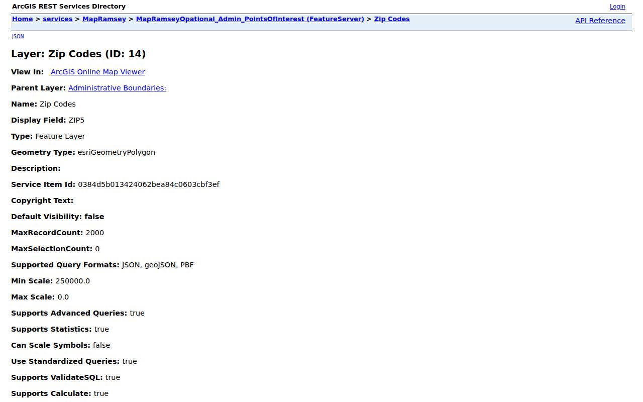
The map can make an overlap visible, but the USPS result remains the accepted postal answer for a specific delivery address.
Maplewood ZIP Code and City Lines
Postal geography and municipal geography do not match neatly around Maplewood. The five DPS-listed ZIPs can overlap Saint Paul, North Saint Paul, Oakdale, and other nearby areas. Census ZCTA context also includes 55113 and 55125, but those statistical areas are not Maplewood delivery ZIPs without an address-level USPS result. A census ZCTA is an approximation for tabulation, not a postal service decision.
Maplewood's history adds another layer. The area moved through surveyed townships, Saint Paul annexations, a 1957 village, and a 1974 city. Older records may use a township, village, neighborhood, former road, landmark, or legal description rather than a modern ZIP. For a failed historic address, compare the owner, plat, parcel, nearby property, and street history instead of inventing a ZIP conversion.
Maplewood ZIP Code Address Labels
One address can appear in several record systems. Label each string before comparing it. This prevents a tax mailing address, legal description, and postal response from being silently converted into the same location. It also makes older directory and deed research easier to repeat.
- Situs address
- The taxable property location used in assessor records.
- Mailing address
- Where tax correspondence goes; it can be an agent, business, or different municipality.
- Legal description
- The lot, block, plat, PIN, or other land description used in recorded instruments.
- Postal address
- The USPS delivery format, ZIP, and possible ZIP+4 for a specific delivery point.
- Carrier route
- A postal delivery grouping, not a municipal boundary or resident roster.
For street-level parcel work after the ZIP is verified, use the Maplewood by-street directory to follow the address and PIN record chain rather than repeating that work by postal area.
Maplewood Neighborhoods Are Not ZIP Codes
Maplewood's official planning map names Western Hills, Parkside, Kohlman Lake, Hazelwood, Maplewood Heights, Sherwood Glen, Gladstone, Hillside, Beaver Lake, Battle Creek, Vista Hills, Highwood, and Carver Ridge. Those names help locate civic context, but they are not ZIP boundaries or precise legal measurements. A neighborhood can cross a ZIP polygon, and a ZIP can cover more than one neighborhood or municipality.
Use the city neighborhood map alongside MapRamsey and USPS when a search note needs all three labels. Dated city planning figures for neighborhood population are not current census counts and do not identify household membership. This is a geography check, not a directory of residents.
Maplewood ZIP Code History Checks
ZIPs are a modern postal lens, so they can obscure older address trails. Saint Paul directory material, census schedules, recorded deeds, aerial imagery, and city history may use an older address form or no ZIP at all. The documented Waldo Luebben example is a reminder: a Keller Lake property was not numbered in 1932 and later used 2000 Arcade. The source does not provide a general renumbering year, so it is a practical search warning rather than a conversion rule.
For historical work, record the date on every address source and test the road name, landmark, parcel, and legal description. Then add the current USPS ZIP only as a present-day reference. That preserves the record's original geography instead of rewriting it.
Maplewood ZIP Code Record Check
After USPS confirms a ZIP, decide which record system is actually needed. A property question goes to the situs address and PIN in Beacon or MapRamsey. A deed question goes to the legal description, document number, or party name in RecordEASE. An exact registration confirmation keeps its required identity fields and address route. A city permit or code question belongs with the Maplewood department that holds it, because no complete public citywide permit or code-case result screen was located.
Write the evidence in layers: USPS format and ZIP; county parcel/PIN; legal description or recorded instrument; city neighborhood label; and the retrieval date. This is especially useful near municipal borders, where a postal city, a parcel location, and a nearby station name can point to different geographic concepts without conflicting.
For a historic address, add the date exactly as it appears in the directory, census, deed, or map. A postal ZIP is often absent from older records. Start with the historic street form or legal description, then use the current ZIP only to help locate the modern parcel. Do not overwrite the older record's geography with a current postal label.
Maplewood ZIP Code Directory Limits
A ZIP directory can describe postal areas and record routes, but it cannot show who receives mail, who rents, every household member, utility customers, driver addresses, or protected locations. Minnesota voter data has its own restrictions, and Safe at Home participants use an assigned address rather than a real address in public-facing processes. The Safe at Home program is not information to reverse-engineer through postal or parcel clues.
Use a narrow, lawful question: verify a delivery format, distinguish a ZIP from a city line, or connect an address to its parcel. Keep the source and retrieval date. Never use a postal result to monitor, harass, intimidate, or harm anyone. If the answer depends on city limits, survey information, or a document image, ask the relevant custodian instead of treating the ZIP layer as final.